Subjective perception and objective capture
During a conventional site visit, the picture of a space is formed from a subjective selection of impressions. Details are forgotten, dimensions estimated and relationships remembered wrongly. Photos only help selectively.
Technical capture systems work completely, neutrally and reproducibly. The scanner measures all surfaces, geometric elements and spatial relationships – regardless of whether they are perceived as relevant. The data is available again at any time, without another site visit.
The challenge of existing buildings
Existing buildings change over the years. Conversions, repairs and temporary solutions are often undocumented, and drawings are incomplete or contradictory. A conventional survey only records what is needed at the moment. If information is missing later, further site visits are necessary. With historic fabric, such as the city palace in Cologne, the scan must also take place before scaffolding goes up.
Technologies: LiDAR, stereoscopy and 360° imagery
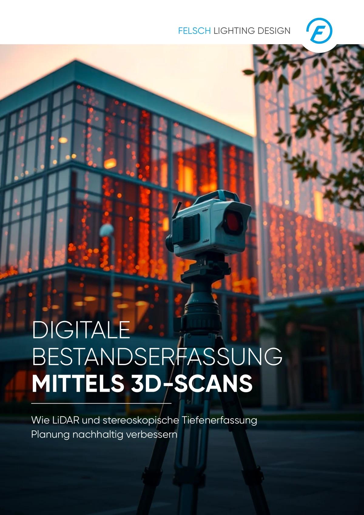
LiDAR (light detection and ranging) emits laser pulses and calculates the distance to surfaces from the travel time of the reflected light. Millions of measuring points create an accurate spatial image, regardless of lighting conditions.
Stereoscopic systems calculate depth from the image differences of offset cameras and produce convincing visual documentation.
360° imagery adds a digital walk-through to the survey, making coordination and decisions easier.
Georeferencing as the basis for data integration
With global referencing, the point cloud is integrated into a higher-level coordinate system, such as an official national coordinate system. This suits larger projects with indoor and outdoor areas and trades working in parallel. Relative referencing refers to a project origin and is sufficient if only interiors are captured or no survey data is available.
From measuring point to parametric component
- Preparation and cleaning: reduce noise, filter artefacts caused by mirrors or open windows, check registration accuracy, export as .las or .e57.
- Model reconstruction: surfaces are translated manually or semi-automatically into walls, ceilings, beams, windows and building services components.
- Integration: transfer into CAD, BIM and planning systems as a shared planning space for all trades.
Economic benefits
A 3D scan saves time, reduces effort and avoids errors. Return trips to the site are no longer needed, planning phases become shorter and unnecessary adjustments during construction are avoided. Planning starts earlier and runs in a more structured way.
Case study: KölnBäder
KölnBäder operates numerous indoor and outdoor pools in Cologne that have been extended, refurbished and retrofitted over the years. For alterations to building services and lighting, consistent as-built documents were missing, and site visits were restricted by pool operations. A combined LiDAR and 360° camera system produced a complete point cloud within a few hours. The result: complete documentation of the installations in the ceiling and beam areas, exact heights and distances, and far fewer site appointments – all specialist planners were able to work remotely.
Case study: Tempodrom Berlin
The roof structure of the Tempodrom, with radial ribs and irregular heights, is a particular challenge for structural, building services and event technology planning. The scan provided a reliable basis, reduced safety-critical work at great height and made tight installation areas visible early on.
Outlook and conclusion
The future of planning in existing buildings lies in linking point clouds, BIM models and digital twins. Artificial intelligence will increasingly recognise components and installations automatically, and mobile and robotic systems will capture data during operation and across large sites. 3D scans make reality visible, measurable and traceable – the basis for fact-based planning.